
On a boot-making trip in the Black Forest

Outdoor
3-day hike in the Black Forest
Author: Annette Frühauf
21 January 2021
Nature, sports
“Boot Journey – Culinary Delights”
Partly alpine trail
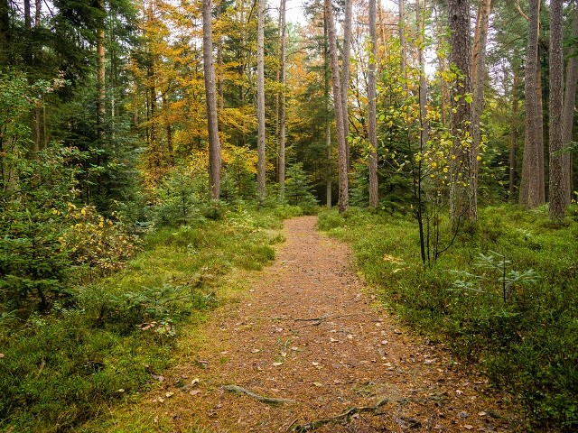
Like the first 'boot tour', the new tour also starts in Calw. Along the NagoldThe first five kilometers to Teinach station wind their way through the valley. Just above, the wide hiking trail branches off to the left into a narrow path. The sign reading "Caution: Alpine trail in places" piques our curiosity. What awaits us there? We eagerly ascend the narrow path. We constantly have to navigate around branches and tree trunks. To the right, the slope drops steeply to Federal Highway 463, from which a constant hum can be heard. The rays of the morning sun, filtering through the sparse branches, provide pleasant warmth. Delicate green moss covers stones and rocks, which we easily overcome with the help of ladders. The path has become so narrow that we proceed single file up the incline to Florsackallee. Two foxes cross our path. Before the camera is ready, they have long since disappeared into the undergrowth. We wait in vain for a third. More and more, the journey itself becomes the destination – the here and now is what matters. The forest smells earthy.
What is your pulse doing?
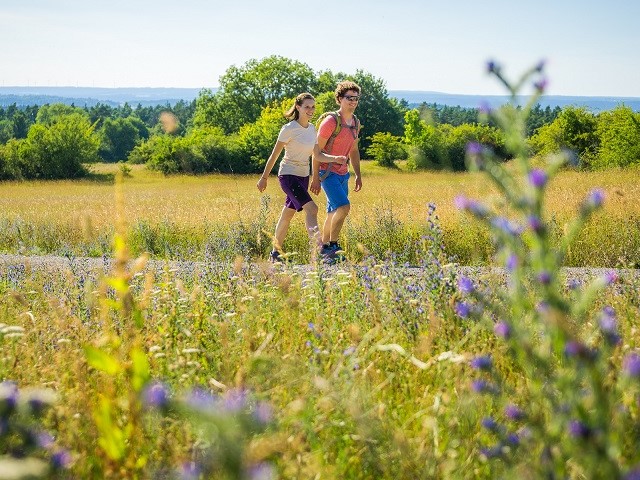
It's pleasantly deserted this morning in the Black Forest Central/North Nature Park, and we congratulate ourselves on our spontaneous decision to set off. Now we only hear the birds, tirelessly singing their praises on this sunny day. After the first steep section of today's 21-kilometer hike, with its roughly 700 meters of elevation gain, our heart rates have increased. A sign by the wayside explains how a heart rate analysis shows physical exertion: Using your middle and index fingers, you feel your pulse at your wrist or carotid artery for 30 seconds. A cell phone or watch records the time. The result is then compared with the figures in the table. Excellent – everything is in the green zone, or more precisely, in the fitness zone, which indicates regular exercise. We continue on our way, feeling refreshed, under the shade of the trees – until just before Holzbronn.
A piece on the Augenblick round
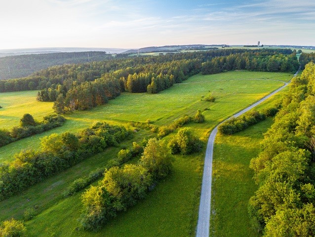
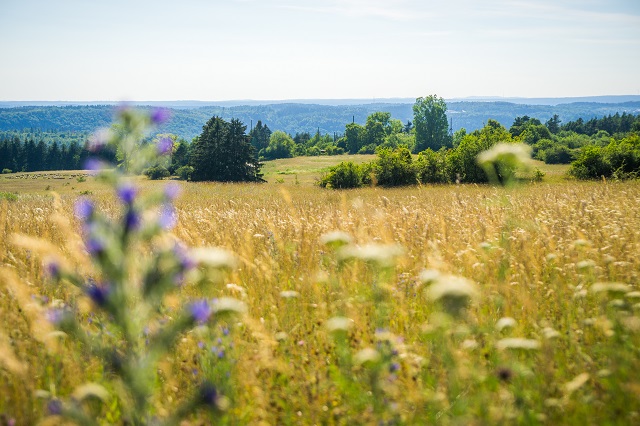
Our route, the AugenBlick Runde (Eye Moment Round), follows wide paths, past meadows and fields. Calw-Holzbronn over the next few kilometers. The "AugenBlick" (Eye-Catching) tours in the Black Forest Central/North Nature Park promise breathtaking views and vistas. Here, the view sweeps across the... Nagoldvalley to Zavelstein and up to the heights of Neubulach and NeuweilerPassing Lake Gültlingen, along the babbling brook, we continue on to Gültlingen. A short break for a footbath is in order. Then it's time to put our shoes on and keep going. A red kite seems to have joined us for a short while. It circles us repeatedly, and its short whistles can even be heard in the village. Over 50 percent of the world's red kite population lives in Germany, which is why they are seen circling in the skies here more frequently.
Restaurant or perhaps a picnic in the countryside?
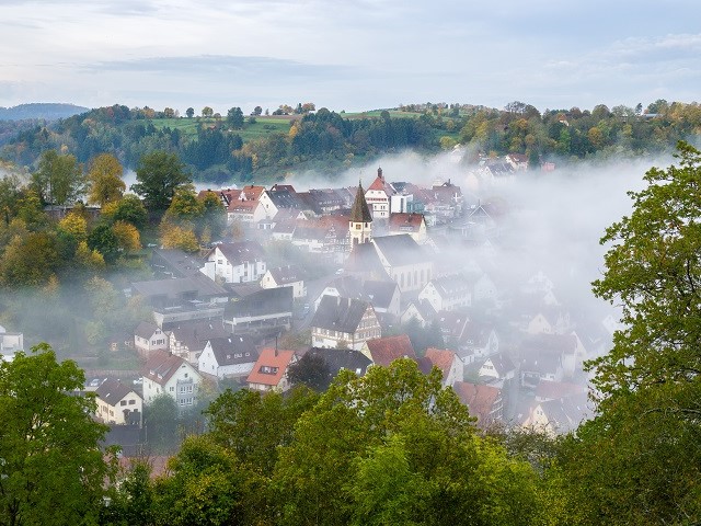
Since we couldn't find a restaurant in Gültlingen and the "Hirsch" was closed, we continued our hike through the village and up to the Gültlingen Heath. A good decision, because on the Kapf hill, nestled among pine trees and surrounded by juniper bushes and hedges, we found an idyllic barbecue area. The green diamond with the rosehip, marking the long-distance hiking trail "Gäurandweg," helped us navigate the remaining kilometers. Passing through Sulz am Eck and tackling the final climb of the day, we descended, feeling a bit tired. WildbergThe imposing ruins of the high medieval noble castle rise above the town, which is known far and wide for its Shepherds' Run. Even today, the town is home to one of the three Shepherds' Guild headquarters in southern Germany. The Restaurant Talblick offers traditional German cuisine and, upon request, a gourmet menu, where weary hikers can kick off their boots and reflect on their varied tour on the terrace. We let our day come to a leisurely close.
Well rested, we continue.
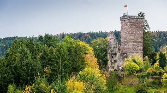
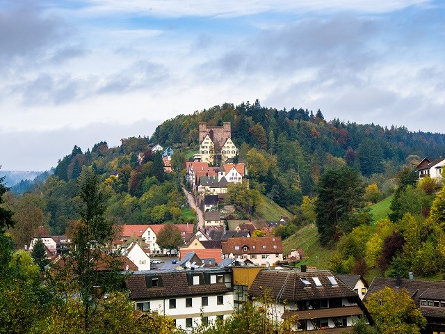
After a hearty breakfast that left nothing to be desired, we set off refreshed on the roughly three-kilometer return hike to Sulz am Eck. The markings of the "Gäurandweg" long-distance hiking trail once again served as our guide. (This trail is the easternmost of the long-distance hiking trails maintained by the Black Forest Association in the Northern Black Forest. At 120 kilometers long, it leads from Mühlacker to Freudenstadt in six stages.) Today we have 25 kilometers and 500 meters of elevation gain ahead of us. Our feet are still a bit tired from yesterday. Is it coincidence, or is the red kite waiting for us to join us for a while? No matter, the majestic bird circles in the sky, high above our heads, lets out a few shrill cries, and flies off. The views from the Eisberg – stretching far beyond the Black Forest heights – distract us from our weary limbs. We continue on with lighter feet. Nagold down. Hohen Castlenagold Or what remains of it stands atop the 529-meter-high Schlossberg (Castle Hill). Some foundations, parts of the outer bailey, the keep, and the fortified tower, which can be climbed, testify to the size of the complex. Then it's time to head to Berneck, where the stage ends and we spend the night at the Hotel Rössle.
The third stage
The third and final stage takes us 22 kilometers and a good 500 meters of elevation gain back to CalwToday, we follow the red and black diamond marker of the East Trail. (The East Trail, along with the West Trail and the Middle Trail, is one of the three north-south long-distance hiking trails through the Black Forest, running from Pforzheim to Schaffhausen. This approximately 240-kilometer-long high-altitude trail was established in 1903.) Everything seems bright and light; work is far away. The forest air is still fresh and invigorating in the morning, especially for the mind. The cell phone stays off today. Every step counts, each one springing across the soft forest floor. We've found our rhythm, and it could go on like this forever. We hike across the ridges of Wart, Oberhaugstett, and Liebelsberg, down into the Teinach Valley. Today, a buzzard catches our eye. Along the way lies the historic Zavelstein Castle ruins, built around 1200 as a Hohenstaufen castle and acquired by Benjamin Buwinghausen von Wallmerode. Rebuilt as a late Renaissance castle, it was destroyed by French troops in 1692 during the War of the Palatine Succession and never rebuilt. From the 28-meter-high tower, we enjoy a magnificent panoramic view stretching as far as the Swabian Alps. In the heart of the small village lies the Hotel KroneLamm, with its traditional restaurant and Michelin-starred cuisine. Three premium hiking trails pass through Zavelstein, including the Zettelberg "Eye-Catching" loop. Several good reasons to extend your stay by another day? But after a short detour to the Zavelstein hikers' hostel, we head back – one last time through the forest towards... Calw, where our car is waiting at the train station.
figures, data, facts
Arrival: From Stuttgart via the B14 and A81 and then on the K1079 to CalwDistance: 50 km and travel time: 45 minutes. Take the S6 train from the main train station to Weil der Stadt and then continue with bus 670 to... CalwTravel time approximately one and a half hours.
Overnight: In Wildberg at Hotel Talblick: www.talblick-wildberg.de /, or at the Hotel Krone: www.krone-wildberg.de / and in Berneck at the Rössle: www.roessle-berneck.de/
Food and drink: Those wishing to include a detour to Holzbronn will find traditional German cuisine and a black-wood cellar at Krabba-Nescht, www.krabba-nescht.de/krabba-nescht/
The Hirsch restaurant is located along the route in Gültlingen. The Landhotel Pfrondorfer Mühle is also nearby. Nagold When you sit in nature, www.pfrondorfer-muehle.de
Traditional German cuisine and Michelin-starred dishes are available at the KroneLamm in Zavelstein, www.berlins-hotel.de
Boot trip: The 3-day round trip “Boot Journey – Upper Nagold"tal". Package tours can be booked through Tourismus GmbH Nördlicher Schwarzwald. info@mein-schwarzwald.de
www.mein-schwarzwald.de
It starts in Calw The tour includes a hiking map and route description. The route is approximately 70 kilometers long with 1700 meters of elevation gain and loss. Most of the route follows paths, forest trails, and meadow paths. Luggage transfer is available upon request.
General information:
Tourism GmbH Northern Black Forest,
www.mein-schwarzwald.de